Apr 23, 2022
How to Navigate Trains in 2022
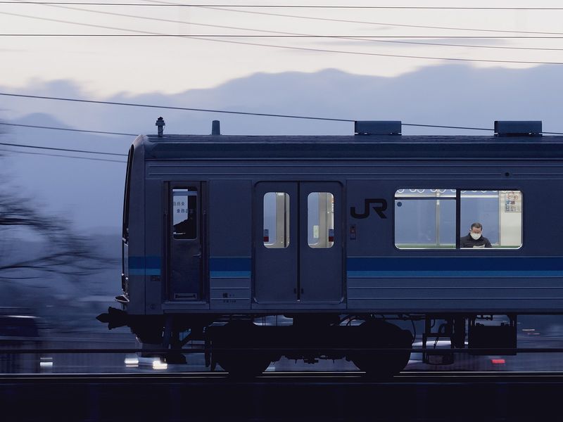
When I first came to Japan, navigation on Japan’s trains was a Herculean effort since I couldn't read Japanese yet. In my bag, I carried a notebook, a pencil, a dictionary, and a thick train timetable book to figure out how to get where I was going and when. The train platforms were labeled in kanji and hiragana for elderly people who didn’t know the modernized kanji. And if I remember right, there were no romanized names of the stations back then.
Since the early 2000s, I have relied on Hyperdia, the digital timetable that provides rail and air information. But in the spring of 2022, the service which used to provide detailed route planning stopped. Now, Hyperdia only indicates the average travel time from point to point, possible routes, and fares. It’s still useful because it shows multiple routes and commuting ticket costs.
A route planner I have used on my smartphone for years is Jorudan. One of the good features is the real-time train operation information. The status of train lines is indicated with a variety of icons that show whether a line is stopped, or running smoothly. The website is easy enough to navigate. You can see the Japanese side here, and the English side here. I prefer to use the Japanese side because it provides a lot more detailed information. The English side doesn’t have live updates.
I had a look at other websites, too. One that has broad coverage is Ekitan. It provides searches for Shinkansen, flights, and bus connections. When you scroll down the page it shows recommended places for dining and leisure. As far as I can tell, the recommendations are solely in Japanese.
In a pinch, Ekispert looks good. Its English interface is simple with no distractions. It seems to provide only basic information - nothing to indicate platforms. The Japanese side has details about which line to look for.
I’m also looking at Google for transit information. For the most part, it is reliable for both local bus and train route information as it shows train, driving, and walking routes. However, it falls down on some cycling information. When I want to bike somewhere, I check both the driving and walking directions and then guestimate my cycling path and travel time.
What smartphone app and which website do you find works best for you where you are? Which ones are easy for visitors?


0 Comments